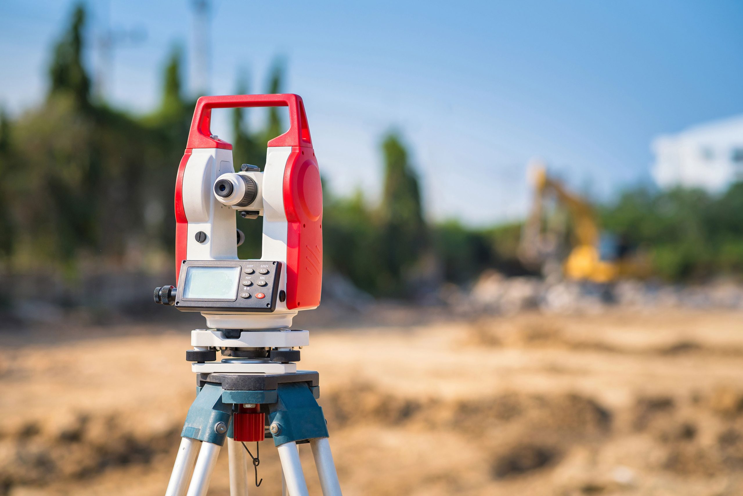
Our firm provides precise and reliable surveying services, including land surveying, topographic mapping, boundary determination, construction staking, and as-built surveys. Utilizing the latest surveying technology and equipment, we deliver accurate data that supports design, planning, and construction processes. Serving clients across commercial, residential, industrial, and public sectors, we ensure projects are grounded on solid, dependable measurements to facilitate successful project execution.
- Boundary Retracement
- Subdivision Planning and Platting
- Topographic and Planimetric Survey Mapping
- Existing Conditions/As-Built Surveys Drone Surveying
- Aerial Photogrammetry
- Construction Surveying
- Boring Location Stakeout
- Quantity Volumetric Surveys (Stockpiles, Excavations)
- Mining/Quarrying Industry Surveys